
 |
Home | Makalu References | Contact |
Links To Photo Galleries
Links To My Youtube Videos
Travelogues and References
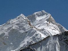
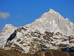
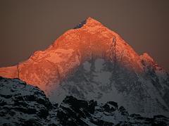
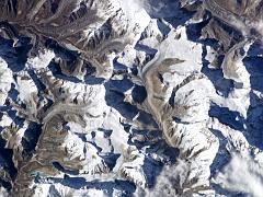
Updated: January 2010. Click on an image to see the FULL size with a caption.
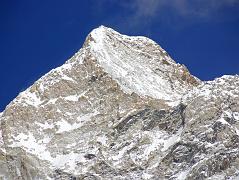
Makalu (8463m) is the fifth highest mountain in the world, located 22km east of Mount Everest, on the border between Nepal and Tibet. The name Makalu is probably taken from the Sanskrit word Maha-Kala, which means Big Black and is a by-name of Shiva - one of the most important gods of Hinduism.
Makalu has two notable subsidiary peaks. Kangchungtse (7678m, also called Makalu II) lies about 3km north-northwest of the main summit. Rising about 4km north-northeast of the main summit across a broad plateau, and connected to Kangchungtse by a narrow saddle, is Chomolonzo (7818m).
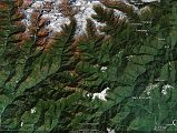
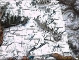
The trek to Makalu Base Camp in Nepal starts with a flight from Kathmandu to Tumlingtar (355m) and then driving or trekking to Mane Bhanjyang (1100m) and up to Chichilla (1830m) and down to Num (1500m). The trail then descends 870m to cross the Arun River (630m), ascends 830m to Sedua (1460m), and turns west to Tashigaon (2160m), the last settlement in the valley. From Tashigaon, you climb in a lush cloud forest to the gateway into the Makalu-Barun National Park area at the top of the ridge (3190m), continue climbing to the few buildings and campsite of Kongma (3560m), the Kongma La (3850m) and three passes, including the Shipton La (4216m), before descending down to Mumbuk (3500m).
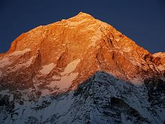
From Mumbuk the trail descends to the Barun Khola (3200m), and climbs up the Barun Valley to Yangle Kharka (3600m), Riphuk Kharka (3930m), and Jark Kharka (4210m), with mountains views ahead including Chamlang East (7235m) and Peak 6 / Mount Tutse (6758m). Beyond Langmale Kharka (4405m, also called Yak Kharka) the trail ascends alongside a moraine to Merek (4570m), and then turns west and then slightly north to Sherson (4660m) with the first views of Makalu. It takes just an hour to trek from Sherson to Makalu Base Camp South (4850m), with excellent views of the Makalu Southwest and South faces at sunset and sunrise.
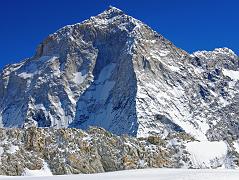
The trail from Makalu Base Camp South (4850m) passes the Barun Pokhari before turning northwest and climbing an ablation valley on the west side of the Barun Glacier to Makalu Sandy Camp (5300m), with views of Nuptse, Lhotse, Lhotse Shar, Peak 38, Cho Polu, and Everest Kangshung East Face at the head of the valley, and once again sensational views of the Makalu West Face, West Pillar, and Southwest Face. The trail turns to the west from the Barun Valley and ascends steeply on enormous rocky boulders to a camp at around 5800m at the snout of the glacier leading to the East Col pass, once again with excellent views of the Makalu West Face, West Pillar, and Southwest Face.
The trail climbs up the glacier and then up the steep and rocky trail to the East Col (6135m) with views of Chamlang East, Hongu Chuli, P6770, and P6730 (Little Baruntse). We descended the other side of the East Col using a fixed rope and then trekked across the vast glacier to the West Col (6143m), with its views of Peak 41 / Kyashar, Hongu Peak, Malanphulan, Kangtega, Ombigaichen and Ama Dablam, Gauri Shankar, Menlungtse. and Taweche. After the 200m descent down the 50-55 degree snow and rock face from the West Col, it was all downhill, first on the glacier, then on muddy rocks towards Baruntse Base Camp (5450m) next to a lake, with views to Baruntse.
I continued my trek down the Hongu Valley, climbed Mera Peak, trekked down the Hinku Valley and over the Zatrawa La to Lukla.
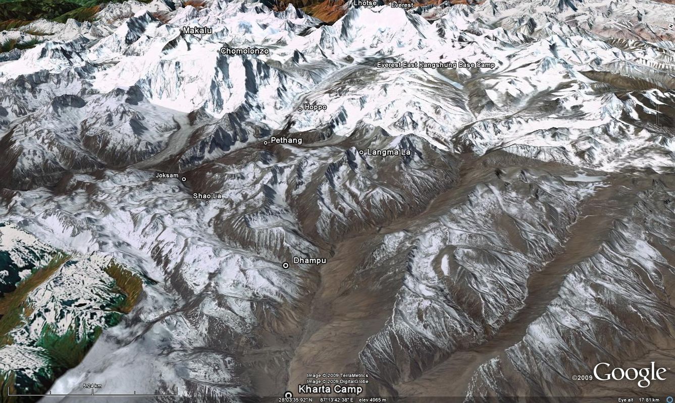
The trek to the north face of Makalu in Tibet starts with the drive towards Everest North Face over the Pang La (5250m) with views of Everest, Cho Oyu and Makalu, and to the small village of Peruche where the road to Kharta splits of from the one to Rongbug Monastery. From the end of the road at Kharta, the trek goes up to the Shao La (5030m) pass with views of Makalu North Face and Chomolonzo, and then descends into the Kama Valley.
The mountain views become spectacular, maybe the best in the world, on the trek up the Kama Valley to Everest Kangshung East Base Camp, with Chomolonzo, Kangchungtse, Makalu North Face, Chago, Pethangtse, Shartse, Peak 38, Lhotse Shar, Lhotse Middle, Lhotse, the South Col, and the Everest Kangshung East face. The return trek goes over the Langma La (5330m) and back down to Kharta and the drive out to Rongbuk Monastery and Everest North Base Camp.
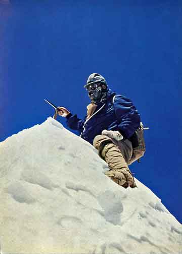
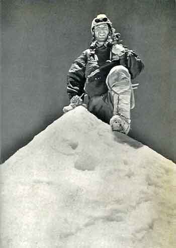
In the fall of 1954, a French reconnaissance expedition made the first ascents of the subsidiary summits Kangchungtse (October 22 - Jean Franco, Lionel Terray, Gyaltsen Norbu and Pa Norbu) and Chomolonzo (October 30 - Jean Couzy and Lionel Terray).
The French returned in 1955 with maybe the strongest mountaineering team ever assembled. The French team climbed Makalu by the north face and northeast ridge, via the saddle between Makalu and Kangchungtse (the Makalu-La), establishing the standard route. The first ascent of Makalu was completed on May 15, 1955 by Lionel Terray and expedition leader Jean Couzy. Franco, G. Magnone and Sirdar Gyaltsen Norbu summitted the next day, followed by Bouvier, S. Coupe, Leroux and A. Vialatte on the 17th.
The first ascent of the Makalu southeast ridge route was made on May 23, 1970 by Japanese Yuichi Ozaki and Hajime Tanaka.
The first ascent of the very technical Makalu West Pillar route was completed on May 23, 1971 by Frenchmen Bernard Mellet and Yannick Seigneur on an expedition led by Robert Paragot.
After seven failed attempts, the first ascent of the difficult Makalu West Face was finally completed on May 21, 1997 by a Russian team led by Sergey Efimov. Alexei Bolotov, Yuri Ermachek, Dmitri Pavlenko, Igor Bugachevski and Nikolai Jiline made it to the top. Salavat Khabibulin died just 250m from the top and Bugachevski was struck by a rock and died on the descent.
Simone Moro and Denis Urubko made the first ascent of Makalu in winter on February 9, 2009.