
 |
Home | Gasherbrum I References | Contact |
Photo Galleries

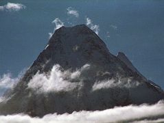
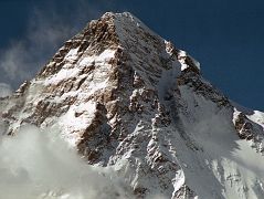
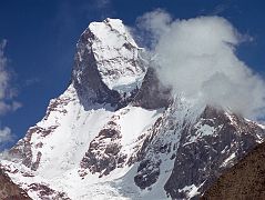
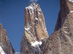

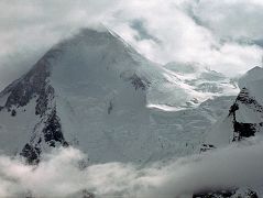
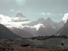
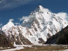
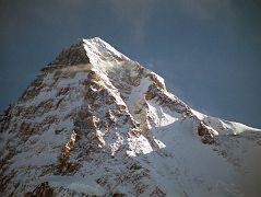
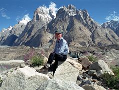
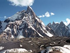
Gasherbrum North Photo Galleries
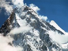

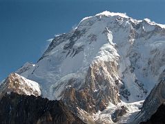
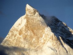
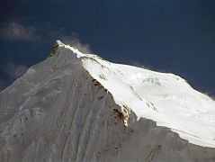

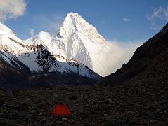
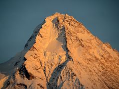


Gasherbrums North Face Youtube Videos
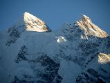
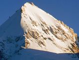
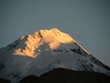
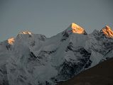
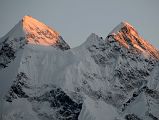

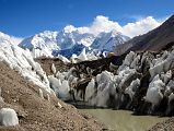

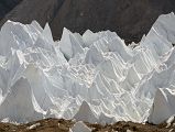

Updated: September 2014. Click on an image to see the FULL size with a caption.
To see the full list of photos, see K2 Photo Gallery.
Gasherbrum is a remote group of peaks located at the north-eastern end of the Baltoro Glacier in the Karakoram range of the Himalaya. The massif contains two of the world's 8000m peaks. In 1856, Thomas George Montgomerie, a British Royal Engineers lieutenant and a member of the Great Trigonometric Survey of India, sighted a group of high peaks in the Karakoram from more than 200 km away. He named five of these peaks K1, K2, K3, K4 and K5 where the K denotes Karakoram. Today, K1 is known as Masherbrum, K3 as Broad Peak, K4 as Gasherbrum II and K5 as Gasherbrum I. Only K2, the second highest mountain in the world, has kept Montgomerie's name. Gasherbrum I was also called Hidden Peak by William Martin Conway in 1892 in reference to its extreme remoteness.
"We came over the rise and there it was – Hidden Peak. ... The shape was familiar but the size was beyond belief. In front of us and 10,000 feet above our heads, at the top of a gigantic pyramid that rises directly out of the South Gasherbrum and Abruzzi glaciers, was the summit. Just below it, a glacier tumbled down the mountain underneath the tremendous hanging ice cliffs of the west face. To the left, the bare rock of the northwest ridge swept up the final pyramid. To the right the French buttress climbed into the sky and culminated in the point called Hidden South (23,200 feet) before connecting with the high snow plateau that extends for miles toward the southeast at an elevation of over 23,000 feet. Beyond the French spur, almost out of the scene, the arête tried by Andre Roch in 1934 rose for thousands of feet before it too, joined the plateau, five miles from the summit. For years we had been mentally climbing Hidden Peak."
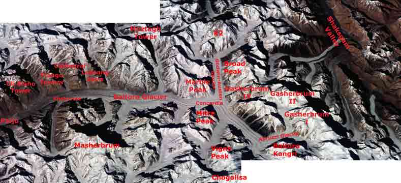
After flying from Islamabad to Skardu with an amazing view of Nanga Parbat, driving from Skardu to Thongol, and trekking from Thongol to Paiju, I set foot on the Baltoro Glacier. I trekked to Khoburtse that first day with a stunning view of Trango Nameless Tower and the Great Trango Tower. I had a dazzling sunrise from Khoburtse with views of Paiju Peak, Uli Biaho Tower, Trango Towers, Cathedral, and Lobsang Spire. The next trekking day we went from Khoburtse to Goro II where Masherbrum was striking both at sunset and sunrise while Gasherbrum IV loomed ahead with Gasherbrum II poking out to its right.
The next day was a fairly short trekking day passing Muztagh Tower before arriving at Concordia, the highlight of the whole trek with K2 dominating the view at the head of the Godwin-Austen Glacier. Rotating in a circle at Concordia, the view has K2, Broad Peak, Gasherbrum IV, Baltoro Kangri, Vigne Peak, Mitre Peak, Paiju Peak, the spires of the Baltoro Glacier, Crystal Peak and Marble Peak. WOW! Spectacular! Breathtaking!
The next day we trekked on the Upper Baltoro Glacier to Shaqring Camp with views of Chogolisa and Baltoro Kangri. Cloudy weather rolled in as we trekked on the Abruzzi Glacier to Gasherbrum Base Camp with a brief view of Gasherbrum I. After back-tracking to Concordia it snowed, so we decided to return back down the Baltoro Glacier instead of waiting for the weather to clear and the snow to melt.
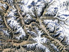
After flying from Beijing to Urumqi and Kashgar, we drove to Karghilik and finally to Yilik village (3504m). The trek was easy to Sarak Camp (3759m) and Kotaz Camp (4330m) before crossing the Aghil Pass (4810m) and descending to the Shaksgam Valley (4000m). The trail was along the wide expanse of the Shaksgam River to a beautiful camp at Kerqin (3968m) with small flowers and mountain views. The trail to K2 Base Camp continues on the flat Shaksgam Valley to River Junction Camp (3824m) and then to the Sarpo Laggo Valley and Sughet Jangal (3900m). The trek was fairly short to K2 Intermediate Base Camp (4462m) with spectacular views of K2 North Face, especially at sunset. I was the only person at this lonely camp.
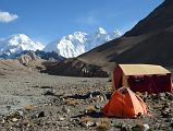
I retraced the trail back to River Junction and Kerqin camps, passed the valley from Aghil Pass and continued to Kulqin Bulak Camp (4060m) and Gasherbrum North Base camp (4294m) with breathtaking views of Gasherbrum I, Gasherbrum II and Gasherbrum III. We then retraced to Yilik Village and back to Kasgkar and Beijing.
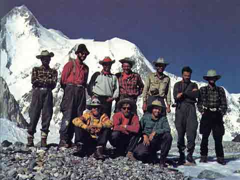
Nick Clinch thought of the idea of Americans attempting an unclimbed 8000er, sold the idea, persuaded other mountaineers to join the team, and got the expedition off the ground. He helped raise the money, selected the team, and worked on the equipment. He researched the route options and met Andre Roch to discuss the southwest ridge that Roch and Hans Ertl had tried in 1934.
The team flew to Skardu and trekked to Base Camp wearing 10-gallon cowboy hats, Clinch's idea to help create a team atmosphere. They investigated the northwest ridge, but decided on the southwest Roch ridge. They fixed ropes to the southeast snow plateau that led between up the plateau between Hidden South and Urdok Peak to the summit pyramid.
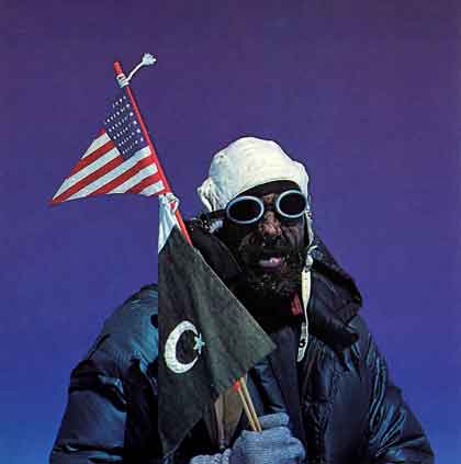
In true American democratic fashion they voted for the summit team. "Neither Schoening nor Kauffman had voted for themselves, but everyone else had. They were to be the summit team." Gasherbrum I was first climbed on July 5, 1958 by Pete Schoening and Andy Kauffman. Pete Schoening: "At three o’clock we topped the rounding ridge and there was no place higher to go. We had reached the summit of Hidden Peak, the terminus of months of planning, teamwork, and constant effort. It was exhilarating and beautiful." Andy Kauffman: "Pete Schoening climbed this mountain. Pete broke trail over two-thirds of the way."
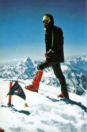
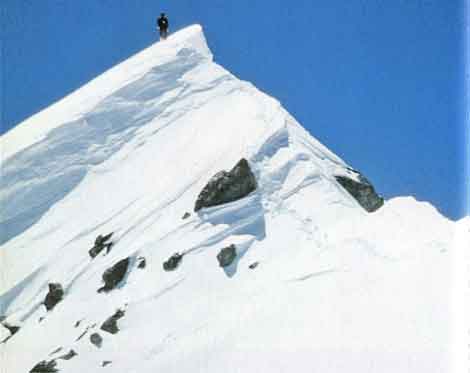
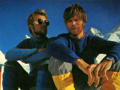
Reinhold Messner and Peter Habeler climbed Gasherbrum I (Hidden Peak) on August 10, 1975 via the difficult North Face without oxygen, fixed ropes, high camps or high-altitude porters. This was the smallest team to succeed on an 8000m peak and was the birth of Alpine Style mountaineering in the Himalaya.
'Only with difficulty could Peter hold back his tears of joy. ... We sat on the summit, in the centre of an endless, empty space. Far below in the valleys lay milky vapour. The horizon around me grew like the emptiness in me. Any my deep breaths condensed to spontaneous events in a purely visionary circle. With an indescribable feeling of serene indifference I awoke from this state of tranquility, as from a sort of nirvana." The weather deteriorated and the descent became more difficult than the ascent.' - To The Top Of The World by Reinhold Messner.
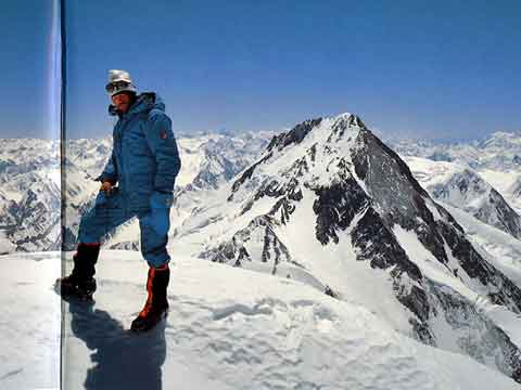
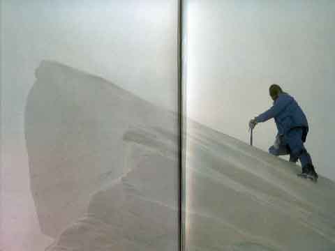
From June 23 to 30, 1984, Reinhold Messner and Hans Kammerlander traversed Gasherbrum II and Gasherbrum I in Alpine Style, reaching the summit of Gasherbrum II on June 25, descending to a pass, and reaching the summit of Gasherbrum I on June 28.
'In three days in radiant weather we were on the summit of Gasherbrum II. ... The next morning we risked the dangerous descent into the Gasherbrum Valley ... Only if we forced ourselves – exhausted, emaciated and without back-up – to venture the second peak, could we succeed in what no one had previously attempted – the combined traverse of two of the highest mountains in the world without rest and without outside help. ... Suddenly it became uncannily gloomy. The storm increased to hurricane force ... Our goggles were iced up, our faces numb. ... At last, behind a cornice was the summit! The second eight-thousander within four days.' - To The Top Of The World by Reinhold Messner.
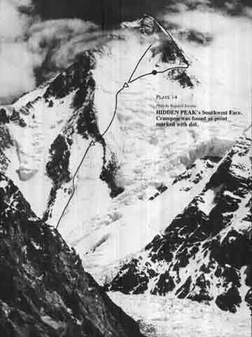
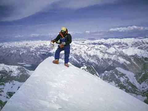
The first ascent of Gasherbrum I Southwest Face was completed by Jerzy Kukuczka and Wojciech Kurtyka on July 23, 1983. Wojciech Voytek Kurtyka in American Alpine Journal: Out next objective [after climbing Gasherbrum II on July 1 1983] was the virgin 8000-foot southwest face of Hidden peak (Gasherbrum I). ... At three A.M. on July 20 we set out. ... At one P.M., after climbing 5000 feet, we faced the first unknown, the traverse to the right over the rocky rib onto the center of the wall. We had to traverse for 125 feet over badly protected, UIAA Grade V rock plastered with snow. At sundown, only ten feet remained. Cutting an icy bivouac platform took our last energy.
The next morning we climbed onto the sun-flooded ice-and-rock face. Unroped we carefully ascended 1000 feet on the Grade III mixed terrain covered with powder snow. At noon we stood hesitatingly under the second unknown, the vast snowfields in the serac zone. We tunnelled our way up the heavy snow. After winding through the serac barrier, we placed our bivouac at 24,275 feet.
On the next day we had hoped to get to the summit. High over the snowfield was the third unknown, the rocky summit cone. We headed a bit to the right and aimed high to the south ridge. Soon we touched the rock. After one pitch it was clear that we wouldn't get over it before dark. Another variation higher up was only slightly better. We had to turn back. On the first rappel I saw my crampon bouncing down between the rocks. There were 8000 feet back down to the glacier. Carefully, sometimes belaying, we climbed down to our bivouac. The prospect of a descent with one crampon the next day down hundreds of meters of slippery rock and ice was horrifying. It seemed so bad that we decided to go up once more the next day.
On July 23 we made an early start. A half hour later I heard jubilant shouts from Jurek. He had found my crampon! Unbelievably, 1500 feet below the unfortunate rappel, it had stuck in soft snow. We soon reached the south ridge. Unexpectedly the ridge provided much unroped, though steep, rock climbing of Grade III. At 2:30 P.M. [on July 23, 1983] we were on the summit [of Gasherbrum I Hidden Peak] (8068 meters, 26470 feet). After descending to our tent, the weather broke. It started snowing. We burned our last gas and ate our last slice of bread. The next day we simply had to get to Base Camp. And we did - at midnight.